Geospatial Innovations for Smarter Decisions
We combine advanced GIS tools, remote sensing, and data analysis to deliver insights that empower stakeholders across sectors—from urban development to environmental management.
Unlimited Services Offered
- Urban and regional planning support
- Land use and land cover mapping
- Infrastructure mapping and monitoring
- Environmental impact assessments
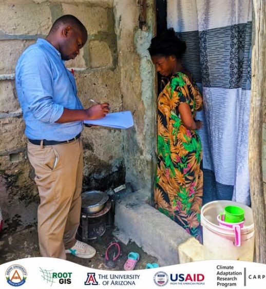
- Community participatory mapping
- Custom GIS Development

Tech stack
GIS platforms
Dashboards, Mobile Applications, and WebApps
Drones and UAVs for mapping
Remote sensing tools
Use Cases / Success Stories
WebGIS development for early warning systems in climate-related hazards such as floods and droughts
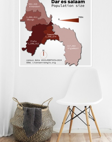
From Complex data to art
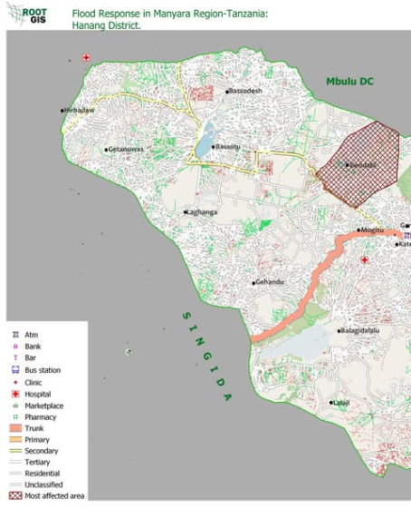
Flood response in Manyara Region, Tanzania, Hanang District